
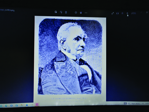
Richard John Griffith (1784 - 1878) of Griffith’s Valuation fame, was an eminent scientist, geologist, and public official , whose careful surveying work in Ireland formed the basis for the first Ordanance Survey(1839).Griffith’s precise geological examinations of Ireland also informed the development of the new scientific studies of both Irish soils and of the burgeoning science of Irish paleontology (fossils).
This beautifully made and hand- coloured map of Swords village (September 1848) was drawn up by Griffith in his own hand. He also signed it personally as Commissioner for Valuation. His survey then revealed that 65 houses within the village were liable for tax. This priceless map reveals a post-famine Swords in a somewhat healthy and thriving state, few houses then being vacant or derelict. The widespread tragedy of the Great Irish Famine(1845-52) may have fallen less forcefully on what seems to have been a somewhat resilient and prosperous Swords.
This map can be viewed in the Arches, an heirloom of the successful business Taylor family, the original owners of this pub.
